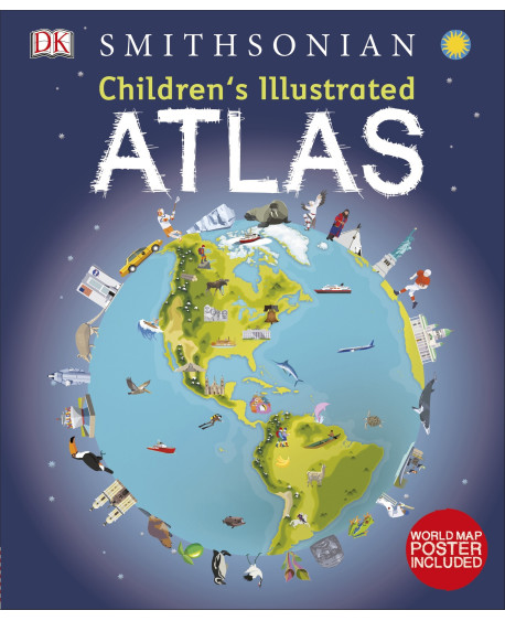

Bring geography to life and explore the countries of the world like never before with DK’s Children’s Illustrated Atlas.
Featuring approximately 50 unique maps of the world that show each country in full-color detail, this new atlas is bursting with information, combining colorful icons with photographs representing key points about each country. Young adventurers ages 8-12 will start by learning the fundamentals of reading a map by using a key, compass, and scale, and will progress to discovering fascinating trivia about all the countries of the world, from the United States to Ukraine and Turkey to Taiwan. Bite-size facts and figures that cover a variety of topics such as climates, population, mountains and rivers, and politics in different continents help support school curriculum and make this a perfect book for the classroom.
With an engaging infographic design and easy to understand layout and text, the Children’s Illustrated Atlas will get the most reluctant explorer learning about the world outside of their own experience.
Our 4 year old is starting Kindergarten in a couple weeks and she is so excited to start learning and making new friends. Like most 4 year olds, she is very curious and quick to pick things up. Over the past few months she has been asking a lot of questions about geography – sparked by her little sisters trip to California in the spring. She knows we live in a city called Hamilton, in a province named Ontario in a country named Canada. She knows that Daddy is from Jamaica, that Auntie Sarah works in Toronto and that California is in the United States. Of course these ideas are still somewhat abstract for her but she is still very curious about the world around her.
DK’s Children’s Illustrated Atlas has been really help her to pull all these ideas about locations together and help her explore further. The illustrations are bright, engaging and informative. Page after page is filled with interesting information about geographic landmarks, the cultures found within each country and local industry.
There is also a really beautiful pull-out world map included which helps to tie all the ideas together really well.


Elizabeth Lampman is a coffee-fuelled Mom of 2 girls and lives in Hamilton, Ontario. She enjoys travelling, developing easy recipes, crafting, taking on diy projects, travelling and saving money!
Laurie P
Saturday 27th of August 2016
another impressive book from DK!
Laurent L
Friday 26th of August 2016
I love Atlases, I find them fascinating. I like to collect them. This sounds like a great first Atlas for a child.
Judy Cowan
Friday 26th of August 2016
Sounds like a great book. I am a fan of DK books, they have a great selection!
Lynda Cook
Friday 26th of August 2016
This looks like a great Atlas to have for the kids, DK has some great books!!
kathy downey
Thursday 25th of August 2016
DK’s Children’s books are the best as im sure this one will be.Thanks i think my grandson would love this.